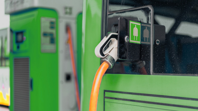
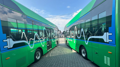
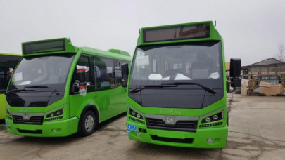
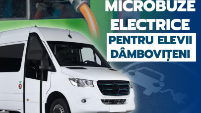
The general objective of the project is to ensure an accessible, efficient, and environmentally friendly public passenger transport service and to improve the conditions for the use of non-motorized modes of transport in the administrative area of the established partnership, to reduce CO2 equivalent emissions from transport.
Bucharest City Hall has also signed a partnership with Google. Travelers who use public transport in the Capital can see in the Google Maps application exactly where the bus, tram, or trolleybus they are going to travel is on the route.
The GPS location data of the public transport operators in the Bucharest - Ilfov region are transmitted in real-time to Google, and any user of the Maps application can access them.
"The application calculates the best route that travelers can take to their final destination, possibly including the metro and/or train. Intermodality is both an element of novelty and a great advantage for passengers, who can choose or change their route depending on the waiting times", affirmed the mayor.
The application is available on most mobile phones and is very easily accessible by users.
"Thus, we align ourselves with the major European capitals in terms of informing travelers who use public transport. With the same application, travelers can guide themselves in any of the big cities in Europe", adds Nicusor Dan.

